How to Set Waypoints for Autonomous Drone Flight in 5 Steps
Understanding Waypoints and Autonomous Flight
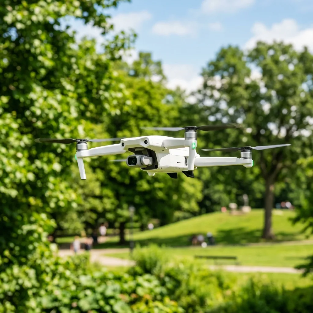
Waypoints are specific geographic coordinates that dictate a drone's flight path during autonomous operations. Each waypoint contains essential parameters, such as altitude, speed, and camera settings, allowing the drone to execute tasks with remarkable accuracy. The significance of waypoints in autonomous flight cannot be overstated, as they provide a framework for programming complex routes that can be repeated consistently. This technology has revolutionized numerous industries, enabling applications such as aerial photography, surveying, and search-and-rescue missions. Autonomous flight relies on advanced technologies such as GPS, sensors, and software to navigate predetermined routes. Drones equipped with GPS can pinpoint their location with high precision, while onboard sensors help maintain stable flight and avoid obstacles. The integration of these technologies ensures that drones can follow the programmed waypoints with minimal human intervention, thus enhancing safety and efficiency in operations. Moreover, the ability to plan intricate flight paths opens up new possibilities for creative and practical applications, making it essential for users to master the process of setting waypoints. In the realm of drone operations, understanding how to set waypoints effectively is a vital skill. This knowledge not only empowers users to optimize flight performance but also enhances the quality of the data collected. For instance, when mapping large areas, the ability to set precise waypoints allows for systematic coverage and reduces the likelihood of missing critical information. As the drone industry continues to evolve, mastering waypoint navigation will become increasingly important for those seeking to leverage the full potential of autonomous flight.Step-by-Step Guide to Setting Waypoints
The process of setting waypoints for autonomous drone flight can be simplified into five key steps. Each step is integral to ensuring a successful and efficient flight operation.
Comparison of Waypoint Applications
To assist drone operators in selecting the most suitable software for waypoint navigation, the following table compares key applications in the market. This overview highlights essential features, compatibility, and pricing, aiding users in making informed decisions based on their specific needs.| App Name | Compatible Drones | Mapping Support | Price | Best For |
|---|---|---|---|---|
| DJI Fly | DJI Mavic Mini, Mavic Air 2 | Basic mapping capabilities | Free | Beginner pilots |
| Litchi | DJI Phantom, Mavic, Inspire | Advanced mapping and waypoint support | $24.99 | Cinematic shots and complex missions |
| DroneDeploy | Various compatible drones | Comprehensive mapping and analysis | Subscription based | Professional mapping and surveying |

Additional Resources and Recommended Links
For those seeking further information on drone operation and optimization, several resources are available. Topics such as how to recover corrupted drone video can be essential for maintaining the quality of aerial footage. Moreover, understanding how to engage in drone real estate photography can significantly enhance business offerings in the real estate market. Utilizing these resources can lead to improved drone skills and knowledge, empowering users to maximize their aerial capabilities. As the drone industry continues to evolve, staying informed about advancements in technology and best practices is vital. Engaging with authoritative resources, such as the DJI official support site, can provide valuable insights and updates on drone regulations and operational guidelines.Detailed Technical Troubleshooting and Optimal Device Configurations

When deploying autonomous drones for waypoint navigation, troubleshooting potential issues becomes paramount to ensure seamless flight operations. One common challenge that arises is GPS signal loss, which can lead to erratic flight paths or even loss of control.
To mitigate this risk, it is advisable to conduct pre-flight checks, verifying that the GPS module is functioning optimally and that the drone is positioned outdoors, away from structures and obstructions that may interfere with satellite signals. Additionally, utilizing high-sensitivity GPS modules can enhance positional accuracy, especially in urban environments where signal degradation is more prevalent.
Another aspect to consider is the drone's firmware. Regular updates from the manufacturer often include enhancements and fixes that improve overall performance.
During the configuration phase, ensuring that the drone's firmware is up to date is crucial. This process may involve connecting the drone to a computer or mobile device to download and install the latest version.
Furthermore, it is advisable to consult the release notes provided by the manufacturer, as they may detail specific improvements related to waypoint navigation and flight stability.
Battery health can also significantly impact flight performance. Drones equipped with lithium-polymer (LiPo) batteries require careful management to avoid performance degradation.
Implementing optimal charging practices, such as using a quality charger specifically designed for LiPo batteries, can extend battery life. Additionally, monitoring battery voltage levels and ensuring that the drone is not operated below the recommended thresholds can prevent unexpected power loss during flight.
Regularly inspecting the battery for any signs of swelling or damage is essential, as compromised batteries can pose safety risks.
For advanced users, customizing the drone's flight parameters through the onboard software can further enhance performance. Adjusting settings such as maximum altitude, speed limits, and waypoint hold time can tailor the drone's operations to specific missions.
It is also recommended to familiarize oneself with the drone's control software, as this can provide valuable insights into how to optimize settings for various environmental conditions and mission requirements.
Lastly, connectivity issues can arise when utilizing drones that rely on remote control or telemetry systems. Ensuring that the communication link between the drone and the ground control station is robust is essential for successful waypoint navigation.
This may involve selecting the appropriate frequency band for transmission, checking antenna alignment, and confirming that there are no obstructions in the line of sight. Additionally, conducting a range test prior to flight can help identify any potential connectivity issues that may hinder performance.
DomineTec Tip: Regularly calibrate the drone's compass and IMU (Inertial Measurement Unit) to ensure accurate positioning and stable flight. This is particularly important before each flight session, especially if the drone has been transported over long distances or exposed to different magnetic environments.
Preventative Maintenance and Battery Health Protocols

Maintaining the operational integrity of drones requires a systematic approach to preventative maintenance. One of the most critical components to monitor is the drone's propellers.
Damaged or worn propellers can lead to reduced flight efficiency and increased risk of crashes. Regularly inspecting propellers for nicks, cracks, or warping is essential.
Replacing them at the first sign of wear can help to ensure stable flight and precise navigation. Furthermore, when replacing propellers, selecting the appropriate size and pitch for the drone’s specifications is crucial for maintaining optimal performance.
In addition to propeller maintenance, the drone's motors should be examined periodically. Accumulation of dust and debris can lead to overheating and eventual failure.
Cleaning the motors using compressed air or a soft brush can help maintain their efficiency. Moreover, ensuring that motors are securely attached and free from any obstructions will promote longevity and performance.
Regularly checking motor bearings for wear and lubricating them, if applicable, can also extend their lifespan.
Battery health is another critical factor in the overall maintenance of autonomous drones. LiPo batteries require particular attention to charging cycles and storage conditions.
It is recommended to store batteries at a partial charge, ideally between 30% and 50%, as this helps to minimize wear. Additionally, utilizing a battery management system (BMS) can help monitor health metrics such as voltage, current, and temperature, providing insights into when the battery needs to be serviced or replaced.
Regularly discharging and recharging batteries can also help maintain their capacity and performance over time.
Environmental factors should not be overlooked when discussing preventative maintenance. Drones should be stored in a cool, dry place to prevent moisture damage and corrosion.
Extreme temperatures can affect battery performance and the integrity of electronic components. Therefore, it is advisable to avoid leaving drones in hot vehicles or exposing them to freezing temperatures for extended periods.
Implementing a travel checklist that includes considerations for weather conditions and storage is essential for maintaining drone health.
Finally, documenting maintenance activities can provide valuable insights into the drone's performance over time. Maintaining a log of inspections, repairs, and replacements can help identify patterns that may indicate recurring issues or the need for upgrades.
This proactive approach to maintenance not only enhances flight reliability but also prolongs the overall lifespan of the drone.
Troubleshooting and Optimizing Waypoint Navigation for Autonomous Drones
When deploying autonomous drones for waypoint navigation, various technical challenges may arise that necessitate meticulous troubleshooting to ensure optimal performance. One common issue is signal loss, which can occur due to interference from environmental obstacles or inadequate GPS coverage. To mitigate this, it is advisable to conduct pre-flight checks to confirm the strength of the GPS signal and to plan the flight path in areas with minimal obstructions. Implementing redundancy in GPS systems, such as utilizing both GPS and GLONASS satellites, can greatly enhance navigational reliability. This dual-system approach ensures that the drone maintains its intended course even in the event of signal degradation.
Battery management is another critical aspect that can affect the efficacy of waypoint navigation. Drones equipped with high-capacity batteries may still face operational limitations if the power management system is not configured correctly. It is essential to regularly monitor battery health and implement smart charging techniques that prevent over-discharge and extend battery lifespan. Additionally, optimizing flight profiles to minimize energy consumption—such as adjusting speed during waypoint transitions—can lead to more efficient battery usage and maximize operational range, which is especially vital during long-distance missions.
In scenarios where drones are required to navigate complex urban environments, obstacles such as buildings and trees can significantly disrupt waypoint navigation. Advanced obstacle detection and avoidance systems should be integrated to enhance flight safety. These systems utilize LiDAR or computer vision technologies to create real-time maps of the surroundings, allowing the drone to adjust its flight path dynamically. Regular calibration of these sensors is imperative to maintain their accuracy. Therefore, conducting routine maintenance checks and software updates on the drone’s navigation and obstacle avoidance systems can help in preemptively addressing potential navigation failures.
Moreover, understanding and complying with local regulations is crucial when setting waypoints for drone flights. Different jurisdictions may impose specific restrictions regarding altitude limits, no-fly zones, and required notifications for certain operations. It is essential to review and adhere to the guidelines provided by aviation authorities, such as the Federal Aviation Administration (FAA) in the United States, to avoid legal repercussions. Utilizing geo-fencing technology can assist in ensuring that autonomous drones do not inadvertently enter restricted airspace, thus helping operators maintain compliance with legal requirements.
Lastly, data logging and telemetry play a vital role in the ongoing performance assessment of autonomous drones during waypoint flights. By collecting and analyzing flight data, operators can identify patterns or anomalies that may indicate underlying issues with the drone's navigation system. This information can provide insights into performance metrics such as battery consumption, flight stability, and waypoint accuracy. Implementing a systematic review of telemetry data allows for informed adjustments to future flight plans and waypoint configurations, ultimately enhancing the reliability and safety of autonomous drone operations.
Long-Term Industry Expectations and Technology Developments
The drone industry has been undergoing rapid advancements, and the future holds significant expectations for the technology and its applications. As autonomous flight capabilities improve, the demand for drones in various sectors, including agriculture, logistics, and emergency services, is expected to surge.
One of the key developments anticipated is the integration of artificial intelligence (AI) and machine learning into drone systems. These technologies will enable drones to analyze their surroundings in real-time, making autonomous decisions based on environmental data and mission parameters, thus enhancing efficiency and safety.
Additionally, the development of advanced sensor technologies will play a crucial role in elevating drone capabilities. Enhanced imaging systems, such as multispectral and thermal cameras, will provide unprecedented insights for applications like precision farming and search-and-rescue operations.
These sensors will facilitate the collection of extensive data sets, which can be processed and analyzed to optimize workflows and outcomes across various industries. As the cost of these technologies decreases, adoption rates are expected to increase, further driving innovation within the sector.
Another significant trend is the move towards regulatory frameworks that will govern drone operations. As airspace becomes increasingly crowded, the establishment of clear guidelines for drone usage will be essential to ensure safety and compliance.
Regulatory bodies are anticipated to implement measures such as drone identification systems and no-fly zones, which will contribute to safer integration into the national airspace. The development of these regulations will also encourage industry stakeholders to invest in technology that enhances compliance and operational safety.
Moreover, battery technology is poised for significant advancements that will impact the operational range and flight times of drones. Research into alternative energy sources, such as hydrogen fuel cells and solar power, could lead to longer flight durations and reduced reliance on traditional batteries.
This shift will open up new possibilities for long-range missions and applications that require extended operational periods without the need for frequent recharging.
Expert advice in navigating these evolving trends emphasizes the importance of staying informed and adaptable. Continuous education and training for drone operators will be essential to maximize the benefits of new technologies and regulatory changes.
Networking within the industry through conferences, webinars, and workshops can provide valuable insights and foster collaboration among stakeholders. As the drone ecosystem continues to evolve, embracing innovation and remaining agile will be critical for success.