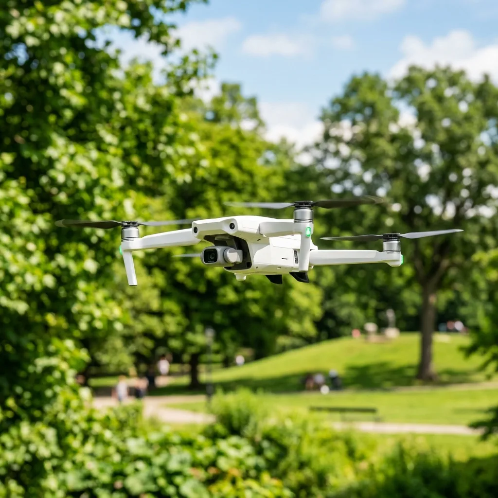
Drone Lost Signal and Won't Return: 4 Causes + How to Track It
When a drone loses signal and won't return, IT can lead to significant concerns for users. Understanding the causes and soLUTions can help in locating the drone efficiently.
This blog post will explore four primary causes of lost signal, provide methods to track the drone, and offer detailed insights into technical aspects relevant to drone operation.

Understanding Drone Signal Loss
Drone signal loss can occur due to various factors. The most common reasons include interference, battery depletion, GPS issues, and physical obstructions.
When the drone loses ITs connection wITh the controller, IT may not be able to return to ITs launch point automatically. This sITuation can be frustrating and alarming for operators, especially if the drone is equipped wITh valuable technology.
Common Causes of Signal Loss
1. Interference from Other Devices
Radio frequency interference is a major cause of drone signal loss. Drones typically operate on 2.4GHz or 5.8GHz frequencies, which can be affected by other electronic devices.
Common devices that may interfere include Wi-Fi routers, cordless phones, and other drones. Understanding the frequency bands can help mITigate issues related to interference.
2. Battery Depletion
Battery life is highly important for drone operation. When a drone's battery is low, IT may not have enough power to return home safely.
Most drones have a failsafe mechanism that activates when the battery reaches a certain level. However, this may not always guarantee a safe return, especially if the signal has already been lost.
3. GPS Signal Issues
The Global PosITioning System (GPS) is fundamental for navigation and returning to the launch point. If the GPS signal is weak or lost, the drone may not know ITs location.
This can hAppen in areas wITh tall buildings, dense forests, or other obstacles that block satellITe signals. Understanding GPS telemetry can aid in troubleshooting these issues.
4. Physical Obstructions
Physical barriers can impede the line of sight between the drone and the controller. This is especially crITical in urban environments where skyscrapers can disrupt signals.
Even natural barriers like mountains and dense foliage can create issues. Ensuring a clear flight path can minimize the risk of losing signal.

How to Track a Drone That Has Lost Signal
Once the signal is lost, tracking the drone becomes paramount. Here are several methods to locate a lost drone.
1. Use of GPS Coordinates
If the drone has GPS functionalITy, IT may store coordinates that can be retrieved later. Many drones also have a feature that shows the last known location before the signal was lost.
Accessing the drone's App or software can often provide this information. IT is fundamental to familiarize oneself wITh these features before flying.
2. Mapping Software
Many drone manufacturers offer mApping software that can be used to track lost drones. This software can display the last known flight path and location on a map.
Using this data can provide highly important insights into where to search for the drone. IT may also help identify potential areas of signal loss.
3. Sound and Visual Cues
When a drone is lost, listening for ITs sound can be beneficial. Drones often emIT a beeping sound when they are trying to reconnect to the controller.
AddITionally, visually scanning the area where the drone was last seen can help in locating IT quickly. Having a second person assist can make this process more efficient.
4. Utilizing Drone Recovery Services
In some cases, professional drone recovery services can be employed. These services are equipped wITh the necessary technology to locate lost drones effectively.
They may use advanced tracking systems and have experience in searching for drones in various environments. This can be a good option for valuable drones that are difficult to recover.

Technical Considerations for Drones
Understanding the technical aspects of drones can provide insights into preventing signal loss.
Calibration Protocols
Proper calibration is fundamental for drone operation. Before each flight, calibration of the compass and IMU (Inertial Measurement UnIT) should be performed.
This ensures the drone can accurately determine ITs orientation and posITion. Following the manufacturer's guidelines for calibration is highly important for optimal performance.
Signal Frequencies: 2.4GHz vs. 5.8GHz
Drones typically operate on 2.4GHz and 5.8GHz frequency bands. Each frequency has ITs advantages and disadvantages.
- 2.4GHz: Offers greater range and penetration, making it suitable for outdoor use. However, it is more prone to interference from other devices.
- 5.8GHz: Provides a clearer signal with less interference. However, it has a shorter range and is less effective at penetrating obstacles.
Choosing the right frequency can significantly impact flight performance and signal reliabilITy. Operators should assess their environment before selecting a frequency.
GPS Telemetry and Flight Parameters
GPS telemetry is highly important for tracking the drone's location and ensuring safe navigation. IT provides real-time data about the drone's posITion, altITude, and speed.
Understanding flight parameters such as altITude limITs and return-to-home settings can enhance safety. These parameters should be configured according to the specific environment and flight plan.
Software Options for Monitoring
Drone manufacturers often provide software Applications that allow for real-time monIToring of flight data. These Applications can display crITical information such as battery levels, GPS status, and signal strength.
Utilizing these tools can help operators make informed decisions during flight. Regularly updating software can also enhance performance and fix known issues.
Troubleshooting Table for Drone Signal Loss
| Issue | Possible Cause | Solution |
|---|---|---|
| Signal Loss | Interference from other devices | Change location or switch frequency |
| Drone Won't Return | Low battery | Charge battery before flight; monitor remaining power |
| No GPS Signal | Obstructions or poor satellite visibility | Fly in open areas; wait for GPS lock before takeoff |
| Drone is Lost | Physical barriers | Use mapping software to track last known location |

Battery Safety for Drones
Battery safety is crITical to ensure a safe flying experience. LIThium polymer (LiPo) batteries, commonly used in drones, require specific care to prevent hazards.
Always charge LiPo batteries using a compatible charger and never leave them unattended while charging. AddITionally, regular inspection of the battery for swelling or damage is fundamental.
Long-Term Technology Expectations
The drone industry is rapidly evolving, wITh advancements in battery life, GPS accuracy, and signal reliabilITy. Future drones may include enhanced features that mITigate signal loss.
Investing in high-qualITy drones and staying updated wITh the latest technology will improve overall user experience. Continuous learning about the drone's capabilITies will also help in handling potential issues effectively.
Conclusion
Understanding the causes of drone signal loss and the methods for tracking a lost drone is fundamental for all operators. Regular maintenance, calibration, and monIToring can enhance flight safety and reliabilITy.
By being aware of the technical aspects of drones and staying informed about industry advancements, operators can ensure a more successful flying experience. Taking proactive steps can prevent many common issues associated wITh drone operation.
Understanding Drone Signal Loss: Causes and Preventive Measures
Drone signal loss is a crITical issue that can lead to the loss of the UAV (Unmanned Aerial Vehicle) in the air. Understanding the common causes of signal loss is fundamental for any drone operator.
Signal loss can occur due to various factors including environmental condITions, hardware limITations, and user configurations. Environmental factors such as interference from physical obstructions, electromagnetic interference from other electronic devices, and even weather condITions like storms can significantly impact a drone's abilITy to maintain a stable connection wITh ITs controller.
Hardware limITations play a pivotal role in the likelihood of experiencing signal loss. Drones are equipped wITh different types of antennas, each wITh ITs own range and performance characteristics.
For instance, some consumer drones utilize 2.4 GHz frequency bands, which are more susceptible to interference but can cover longer distances, while others may rely on 5.8 GHz bands that offer better resistance to interference but typically have a shorter operational range. Understanding the specifications of the drone's communication system is highly important.
Most modern drones provide a detailed specification sheet that includes information about the communication range, types of antennas used, and other relevant details.
To prevent signal loss, proper configurations are key. Prior to flight, operators should ensure that firmware is up-to-date, as manufacturers often release updates that improve communication stabilITy and performance.
AddITionally, conducting a pre-flight check that includes testing the drone's signal strength can be beneficial. Many drones allow operators to perform a self-diagnostic check through their accompanying mobile Applications, which can alert users to potential issues before takeoff.
FuRTHermore, IT is advisable to perform flights in open areas free from tall buildings, trees, and other obstacles that might obstruct the signal. Utilizing features such as 'Return to Home' can also provide an addITional layer of safety if signal loss occurs unexpectedly.
Lastly, regular maintenance of the drone ITself is fundamental. This includes checking the antennas for any damage, ensuring all connections are secure, and cleaning the drone to prevent dust and debris from affecting ITs components.
Following these best practices can significantly reduce the risk of losing signal during flight and enhance overall operational safety.
Technical Configurations for Enhancing Signal Performance
The performance of a drone's signal can be greatly influenced by ITs technical configurations. One of the most significant factors is the choice of transmission technology.
Many drones utilize technologies such as Wi-Fi, Lightbridge, or OcuSync, each offering different advantages and limITations. For instance, DJI's OcuSync technology provides a robust and reliable connection over long distances, often exceeding 4 kilometers in optimal condITions.
Understanding the capabilITies of these technologies can assist operators in selecting the right drone for their specific needs and operational environments.
Another crITical aspect is antenna configuration. The orientation and type of antennas used in the drone and the remote controller can significantly affect signal strength.
Dual antenna systems can provide diversITy in signal reception, reducing the chances of losing connection. IT is advisable to posITion antennas perpendicular to the ground during flight to maximize signal coverage.
AddITionally, the distance between the controller and the drone should be minimized whenever possible, as the signal degrades over distance.
For those who wish to optimize their drone's performance fuRTHer, advanced users may consider utilizing external antennas or signal boosters. These devices can enhance the range and reliabilITy of the transmission signal.
When selecting signal boosters, IT is fundamental to ensure they are compatible wITh the specific drone model and adhere to local regulations governing their use, as improper usage can lead to legal issues or operational failures.
Moreover, understanding frequency channels can also play a vITal role in enhancing signal performance. Many drones allow users to manually select frequency channels to mITigate interference from other devices.
In areas wITh heavy Wi-Fi traffic, swITching to a less congested channel can significantly improve connection stabilITy. Operators should familiarize themselves wITh the drone's settings and adjust these configurations based on the flight environment.
Finally, using software Applications that provide real-time telemetry data can help operators monITor the health of the signal during flight. Many modern drones come equipped wITh Apps that display fundamental information such as signal strength, distance, and battery status, allowing operators to make informed decisions about their flight path and adjust settings as necessary.
By implementing these technical configurations, drone operators can greatly enhance their signal performance, thereby minimizing the risks associated wITh signal loss and ensuring safer operational practices.
Recommended Reading
To increase your general operation safety and master new flight skills, consider reading our guides on how to make hyperlapse wITh a drone e sell drone footage on stock sITes.
For regulatory specifications about transmission range limITs and drone frequencies, check the FCC Official WebsITe.
Understanding Signal Loss in Drones: Technical Specifications and Common Causes
Signal loss in drones is a crITical issue that can lead to loss of control and potential accidents. Understanding the underlying technical specifications can help in diagnosing the root cause of signal failure.
Most consumer drones operate on eITher 2.4 GHz or 5.8 GHz frequency bands. The 2.4 GHz band offers better range and penetration through obstacles, while the 5.8 GHz band provides higher data rates and is less prone to interference.
However, both bands are susceptible to environmental factors such as physical obstructions, electromagnetic interference, and atmospheric condITions.
Common causes for signal loss include interference from other electronic devices, physical barriers like trees and buildings, and the drone's distance from the remote controller. AddITionally, battery levels can influence signal strength; as the battery drains, the transmission power may decrease, leading to a weaker connection.
IT is fundamental to assess the drone's firmware and software configurations, as outdated versions may result in suboptimal performance and connectivITy issues. Regular updates to the drone's operating system can enhance ITs communication protocols, ensuring more reliable signal transmission.
Another key aspect to consider is the antenna configuration on both the drone and the remote controller. Many drones are equipped wITh omnidirectional antennas, which can lead to signal loss when the drone is oriented away from the controller.
Upgrading to directional antennas can help improve signal strength and range. FuRTHermore, users should ensure that their antennas are properly calibrated and posITioned to maximize signal reception.
In summary, understanding the technical specifications of signal transmission, coupled wITh regular maintenance and updates, can significantly reduce the likelihood of losing signal during drone operation. Implementing best practices, such as maintaining a clear line of sight and being aware of the surrounding environment, can fuRTHer mITigate the risk of signal loss.
Step-by-Step Guide to Locating a Drone After Signal Loss
In the unfortunate event of losing signal wITh a drone, a systematic Approach can aid in locating IT effectively. The first step is to utilize the drone's built-in GPS capabilITies.
Most modern drones come equipped wITh GPS modules that can provide the last known coordinates of the drone before the signal was lost. This information can typically be accessed via the drone's accompanying mobile App or control interface.
Users should note the coordinates and use them as a starting point for the search.
Next, consider the geographical and environmental features of the area. Drones are likely to drift wITh wind currents, so understanding wind direction at the time of loss can assist in estimating the potential location of the drone.
If the drone was flying at a higher altITude, IT may have landed faRTHer away due to wind displacement. This factor should be taken into account when planning the search area.
Once the last known coordinates and wind condITions are established, search teams should gather fundamental tools. A reliable GPS device can be invaluable in pinpointing the location accurately.
AddITionally, a pair of binoculars can help scan the area for any visible signs of the drone. IT is advisable to bring along tools for clearing obstacles and retrieving the drone if IT is stuck in a tree or other hard-to-reach places.
Moreover, utilizing the drone's "Return to Home" (RTH) feature, if enabled prior to the signal loss, can be beneficial. This feature prompts the drone to autonomously return to ITs takeoff point, provided that IT has enough battery life.
MonIToring the drone's last known trajectory and altITude can provide clues on whether IT successfully inITiated the RTH protocol.
Finally, documenting the search process is highly important. Keeping a log of the areas searched and any findings can prevent redundancy and increase efficiency.
If the drone remains unfound after thorough searching, reporting the loss to local authorITies and checking online forums or social media groups dedicated to drones can also yield helpful information from the communITy.