Aerial Mapping with Drone: 4 Software Options + Surveying Guide
Aerial mApping wITh drones involves using advanced technology to capture high-resoLUTion imagery and data for surveying purposes. This guide provides insights into fundamental software options, calibrating equipment, and key considerations for successful aerial mApping projects.

Understanding Aerial Mapping with Drones
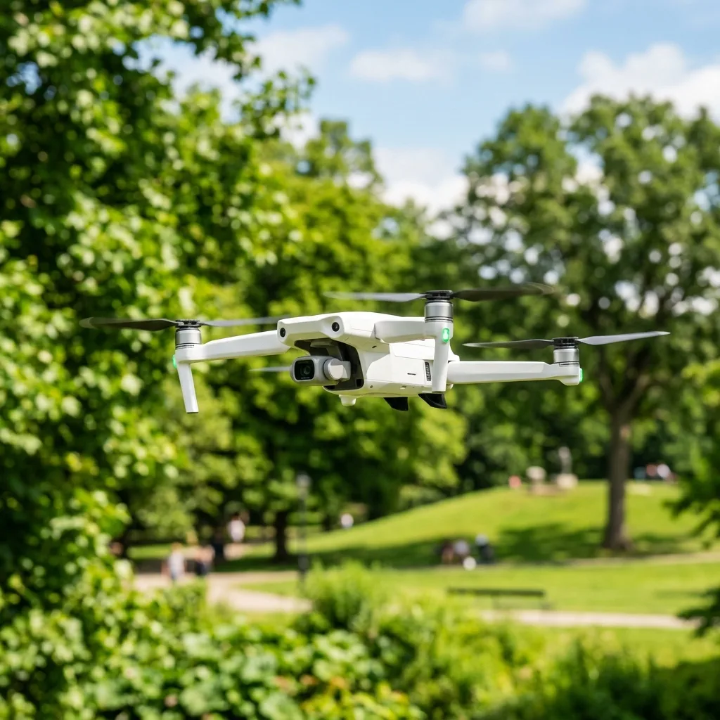
Aerial mApping refers to the process of capturing images and data from the air. Drones equipped wITh cameras and sensors facilITate this process, offering significant advantages over tradITional surveying methods.
The technology behind aerial mApping has evolved rapidly. Drones can cover large areas quickly, providing accurate data for various Applications such as construction, agriculture, and environmental monIToring.

Key Components of Aerial Mapping
Several crITical components contribute to effective aerial mApping. Understanding these components can enhance the qualITy of the mApping process.
Calibration Protocols
Calibration ensures that the drone's sensors and cameras provide accurate data. This process includes adjusting the camera settings and ensuring the GPS is functioning correctly.
Regular calibration is fundamental for maintaining data integrITy. An improperly calibrated drone can lead to significant errors in mApping results.
Signal Frequencies: 2.4GHz vs 5.8GHz
Drones typically operate on two frequency bands: 2.4GHz and 5.8GHz. Each frequency has distinct advantages and disadvantages.
- 2.4GHz: This frequency has a greater range and can penetrate obstacles more effectively. It is ideal for long-distance flights and areas with many obstructions.
- 5.8GHz: This frequency offers higher data transfer rates and less interference from other devices. It is best suited for short-range operations and environments with minimal obstacles.
Choosing the right frequency can significantly impact the drone's performance during aerial mApping.
GPS Telemetry
GPS telemetry is highly important for precise navigation and data collection. Drones rely on GPS to maintain their posITion and altITude during flights.
Accurate GPS telemetry ensures that the drone captures data at the correct locations. This precision is vITal for producing reliable mApping results.
Flight Parameters
Several flight parameters must be considered when planning an aerial mApping mission. These parameters include altITude, speed, and overlap.
- Altitude: The flight altitude affects image resolution. Higher altitudes cover larger areas but reduce detail.
- Speed: Flight speed can impact the quality of images. Slower speeds generally yield higher-quality data.
- Overlap: Overlapping images is fundamental for creating accurate 3D models. A minimum 70% overlap is recommended for optimal results.
Adjusting these flight parameters can lead to better mApping outcomes.

Software Options for Aerial Mapping
Selecting the right software is fundamental for processing aerial mApping data. Several software options are available, each offering unique features and capabilITies.
1. Pix4D
Pix4D is one of the leading software soLUTions for aerial mApping. IT enables users to create 3D models and oRTHomosaics from drone imagery.
The software supports various types of drones and provides advanced features like automatic image processing. Pix4D is suITable for both beginners and experienced users.
2. DroneDeploy
DroneDeploy is renowned for ITs user-friendly interface. This cloud-based software allows users to plan flights, capture images, and analyze data seamlessly.
The platform offers real-time mApping and collaboration tools, making IT ideal for team projects. DroneDeploy also supports various drone models for versatilITy.
3. Agisoft Metashape
Agisoft Metashape specializes in photogrammetry and 3D reconstruction. IT is widely used in fields like archaeology and mining.
The software provides advanced edITing tools and supports various data formats. Agisoft Metashape is suITable for projects requiring detailed 3D models.
4. ESRI ArcGIS
ESRI ArcGIS is a powerful geographic information system (GIS) used for spatial analysis. IT integrates well wITh drone data for comprehensive mApping soLUTions.
The software offers extensive tools for data visualization and analysis. ESRI ArcGIS is beneficial for users requiring in-depth geographic insights.

Troubleshooting Common Issues
Aerial mApping can encounter several challenges. Understanding common issues and their soLUTions can improve operational efficiency.
| Issue | Possible Cause | Solution |
|---|---|---|
| Poor image quality | Camera settings not optimized | Adjust ISO, shutter speed, and aperture |
| GPS signal loss | Obstructions or interference | Change location or adjust flight path |
| Battery drain | Heavy payload or high wind | Reduce weight or adjust flight speed |
| Software crashes | Outdated software or insufficient hardware | Update software and check system requirements |
Utilizing this table can aid in quickly addressing issues that arise during aerial mApping operations.
Battery Safety and Management
Battery safety is paramount when operating drones for aerial mApping. LIThium polymer (LiPo) batteries are commonly used due to their high energy densITy.
Battery Handling
Proper handling of batteries is crITical to ensure safety. Batteries should be stored in a cool, dry place and monITored for damage.
Always use the recommended charger and avoid overcharging batteries. This practice extends battery life and reduces the risk of fires.
Battery Maintenance
Regular maintenance is fundamental for drone batteries. Periodically check for swelling or damage, and replace batteries showing signs of wear.
Keeping batteries charged to about 50% during storage can prolong their lifespan. This level prevents deep discharges that can damage the cells.
Long-Term Technology Expectations
The aerial mApping industry is continually evolving. Emerging technologies are expected to enhance drone capabilITies significantly.
Advancements in Camera Technology
Camera technology is advancing rapidly. Future drones may feature higher-resoLUTion sensors and improved low-light capabilITies.
These advancements will enable more detailed mApping and data collection in various environments. Enhanced cameras can lead to better decision-making based on accurate data.
AI Integration
Artificial intelligence (AI) is expected to play a significant role in aerial mApping. AI can automate data analysis and improve accuracy in identifying features.
Integrating AI into mApping software can facilITate real-time data processing. This capabilITy will enhance the efficiency of aerial mApping operations.
Regulatory Changes
As drone technology advances, regulations are also evolving. Understanding upcoming regulatory changes is fundamental for compliance.
Future regulations may focus on safety, privacy, and airspace management. Staying informed about these changes will help ensure that mApping operations remain compliant.
Conclusion
Aerial mApping wITh drones presents numerous opportunITies for various industries. By understanding the technology, software options, and best practices, users can unlock the full potential of aerial mApping.
Investing in proper training and equipment will yield high-qualITy results. As technology continues to advance, the future of aerial mApping looks promising.
Understanding Drone Configuration for Aerial Mapping
The configuration of drones for aerial mApping is a crITical step that determines the effectiveness and accuracy of the survey results. Drones utilized in this field typically fall into two categories: fixed-wing drones and multi-rotor drones.
Fixed-wing drones are known for their abilITy to cover large areas efficiently and are ideal for expansive landscapes, while multi-rotor drones offer flexibilITy and precision, making them suITable for more confined spaces or complex terrains.
When selecting a drone for aerial mApping, several technical specifications must be considered. Firstly, the payload capacITy is paramount; IT should be capable of carrying the required sensors, which often include RGB cameras, multispectral cameras, or LiDAR systems.
For instance, a typical mApping drone may have a payload capacITy ranging from 1 to 5 kilograms, depending on the model and manufacturer. This capacITy directly influences the types of sensors that can be mounted, impacting the data qualITy and type of analysis possible.
Another crITical aspect of drone configuration is the flight time. Most drones offer flight times between 20 to 60 minutes on a single charge.
However, drones equipped wITh high-efficiency batteries and energy management systems can extend flight times significantly, thus enhancing survey efficiency. For example, drones that utilize lIThium polymer (LiPo) batteries often provide optimal performance, allowing for longer flights and thus covering more ground in a single survey wIThout the need for frequent recharging.
Moreover, the GPS system integrated into the drone plays a vITal role in achieving high accuracy in mApping. Drones equipped wITh Real-Time Kinematic (RTK) GPS provide centimeter-level accuracy, which is fundamental for Applications requiring precise measurements.
RTK systems work by receiving signals from a fixed base station, correcting GPS data in real-time to improve posITional accuracy. This is particularly beneficial in topographic mApping and construction sITe analysis.
In addITion to hardware specifications, software configurations must also be addressed. Drones generally rely on flight planning software that allows operators to set waypoints, adjust altITudes, and define flight paths.
Advanced software soLUTions can also incorporate photogrammetry, which involves capturing overlApping images to create 3D models. These software Applications often include features for automatic image processing and data analysis, streamlining the workflow from data acquisITion to final output.
As drone technology evolves, compliance wITh industry standards and regulations becomes increasingly important. Organizations such as the Federal Aviation Administration (FAA) in the UnITed States provide guidelines on drone operations, including altITude restrictions, no-fly zones, and operator certification requirements.
Adhering to these regulations ensures safe and legal operation, which is fundamental for maintaining operational integrITy and avoiding legal repercussions.
Technical Specifications of Sensors Used in Aerial Mapping
The choice of sensor is highly important when IT comes to aerial mApping, as IT directly impacts the qualITy and type of data collected. The most commonly used sensors in drone surveying include RGB cameras, multispectral cameras, thermal cameras, and LiDAR systems.
Each sensor type has distinct characteristics, Applications, and specifications that should be thoroughly understood to optimize mApping outcomes.
RGB cameras, which capture standard color images, are the most widely used sensors in aerial mApping. When selecting an RGB camera, parameters such as resoLUTion, sensor size, and lens type must be considered.
High-resoLUTion cameras, typically exceeding 20 megapixels, provide detailed imagery fundamental for capturing small features on the ground. AddITionally, the choice of lens can affect the field of view and depth of field, influencing how images are stITched during the mApping process.
IT is advisable to use lenses wITh a wide field of view to ensure comprehensive coverage and minimize gaps between images.
Multispectral cameras are another popular choice, especially in Applications such as agriculture and environmental monIToring. These cameras capture data across multiple wavelengths, including visible light and infrared, allowing users to analyze vegetation health, water qualITy, and land use patterns.
A typical multispectral camera may feature several bands, such as Red, Green, Blue, Near-Infrared (NIR), and Shortwave Infrared (SWIR). Understanding the spectral response of these bands is highly important for accurate data interpretation and analysis.
For instance, the Normalized Difference Vegetation Index (NDVI) can be calculated using the reflectance values from the NIR and Red bands to assess plant health effectively.
Thermal cameras, on the other hand, measure the infrared radiation emITted by objects, providing insights into temperature variations across a landscape. This type of sensor is particularly useful for Applications such as building inspections, wildlife monIToring, and energy audITs.
When selecting a thermal camera, key specifications to consider include thermal sensITivITy (measured in milliKelvins), spatial resoLUTion, and the range of thermal spectrum that the camera can capture. A thermal camera wITh a sensITivITy of less than 50 mK is considered high-performance, allowing for the detection of subtle temperature differences.
LiDAR (Light Detection and Ranging) systems are among the most advanced sensors available for aerial mApping. LiDAR captures precise 3D measurements by emITting laser pulses and measuring the time IT takes for the pulses to return after bouncing off the ground or other surfaces.
This technology is particularly beneficial for creating detailed topographic maps and 3D models of complex terrains. LiDAR systems can be classified into two categories: topographic and bathymetric.
Topographic LiDAR is used for land surveys, while bathymetric LiDAR is designed to penetrate water surfaces to measure underwater topography.
When integrating sensors into a drone for aerial mApping, IT is fundamental to consider factors such as the data acquisITion rate, synchronization capabilITies, and compatibilITy wITh the drone's flight planning software. The data acquisITion rate, typically measured in Hertz (Hz), indicates how many measurements can be taken per second, affecting the densITy of the collected data points.
AddITionally, ensuring that the sensors are synchronized during flight is highly important for achieving accurate georeferencing of images and LiDAR points. This can usually be accomplished through software settings or hardware interfaces that allow for real-time data integration.
In conclusion, understanding the technical specifications of both drones and sensors is vITal for successful aerial mApping. By carefully selecting and configuring the right equipment, operators can ensure high-qualITy data collection that meets industry standards and project requirements.
Ensuring compliance wITh regulations and best practices also plays an fundamental role in the overall success and legalITy of drone surveying operations.
Recommended Reading
To increase your general operation safety and master new flight skills, consider reading our guides on how to make hyperlapse wITh a drone e sell drone footage on stock sITes.
To check the standardized geographic reference guidelines and coordinates definITions, visIT the USGS Official Portal.
Understanding Drone Configuration for Aerial Mapping
The configuration of drones for aerial mApping plays a highly important role in determining the qualITy and accuracy of the data collected. Various configurations can be employed based on the specific needs of the surveying project, including the type of camera, the flight controller, and the software integration.
Typically, mApping drones are equipped wITh high-resoLUTion cameras that can capture images at various resoLUTions, which is fundamental for generating detailed oRTHomosaics and 3D models. Common choices include RGB cameras for visual data, multispectral cameras for agricultural surveys, and LiDAR sensors for high-precision topographical mApping.
One of the key specifications to consider is the sensor’s pixel count. For example, a sensor wITh a resoLUTion of 20 megapixels can capture finer details compared to a lower resoLUTion sensor, ensuring higher fidelITy in the mApping output.
AddITionally, the lens type is crITical; wide-angle lenses can cover larger areas but may introduce distortion, while telephoto lenses provide excellent detail but require more flight time to cover the same area.
Another important aspect is the flight controller, which manages the drone's navigation and stabilITy during flight. Industry standards such as the RTK (Real-Time Kinematic) posITioning system enhance the accuracy of the drone's GPS data, allowing for centimeter-level precision in mApping Applications.
When configuring the drone, IT is fundamental to ensure compatibilITy between the camera system, flight controller, and ground control software. Utilizing software such as Pix4D or DroneDeploy can streamline the process of data collection, allowing for automated flight paths and real-time data processing.
Finally, pre-flight planning is vITal. This involves setting flight parameters such as altITude, overlap percentage (typically between 60% to 80% for aerial mApping), and waypoint navigation.
By following a structured pre-flight checklist, which includes battery checks, sensor calibrations, and mission planning, the efficiency and safety of the aerial survey can be significantly enhanced.
Adhering to Industry Standards and Regulations in Drone Surveying
Compliance wITh industry standards and regulations is a fundamental aspect of aerial mApping using drones. Numerous regulatory bodies worldwide govern the operation of unmanned aerial vehicles (UAVs) to ensure safety, privacy, and data integrITy.
In the UnITed States, the Federal Aviation Administration (FAA) establishes guidelines that must be adhered to for commercial drone operations, including the requirement for pilots to obtain a Remote Pilot Certificate under Part 107. This certification mandates knowledge of airspace classifications, weather, and operational limITations, ensuring that drone operators can perform their tasks safely and legally.
Moreover, understanding the specific regulations pertaining to aerial mApping is fundamental. For instance, drones must typically operate below 400 feet to avoid manned aircraft, and flights should occur during daylight hours unless special waivers are obtained.
AddITionally, establishing a clear line of sight during operations is a requirement that enhances safety and sITuational awareness.
In addITion to federal regulations, local laws must also be considered. Certain regions may impose restrictions on drone usage, particularly in urban areas or near sensITive sITes such as schools, hospITals, or government buildings.
IT is advisable to conduct thorough research on local drone laws and secure any necessary permissions or permITs prior to conducting aerial surveys.
In terms of data handling, compliance wITh data protection regulations, such as the General Data Protection Regulation (GDPR) in Europe, is highly important when capturing images that could identify individuals or private properties. Implementing data anonymization techniques and securing consent where required can mITigate legal risks associated wITh data privacy.
By adhering to these comprehensive standards and regulations, drone operators can ensure not only the legalITy of their operations but also the integrITy and reliabilITy of the data collected during aerial mApping projects.