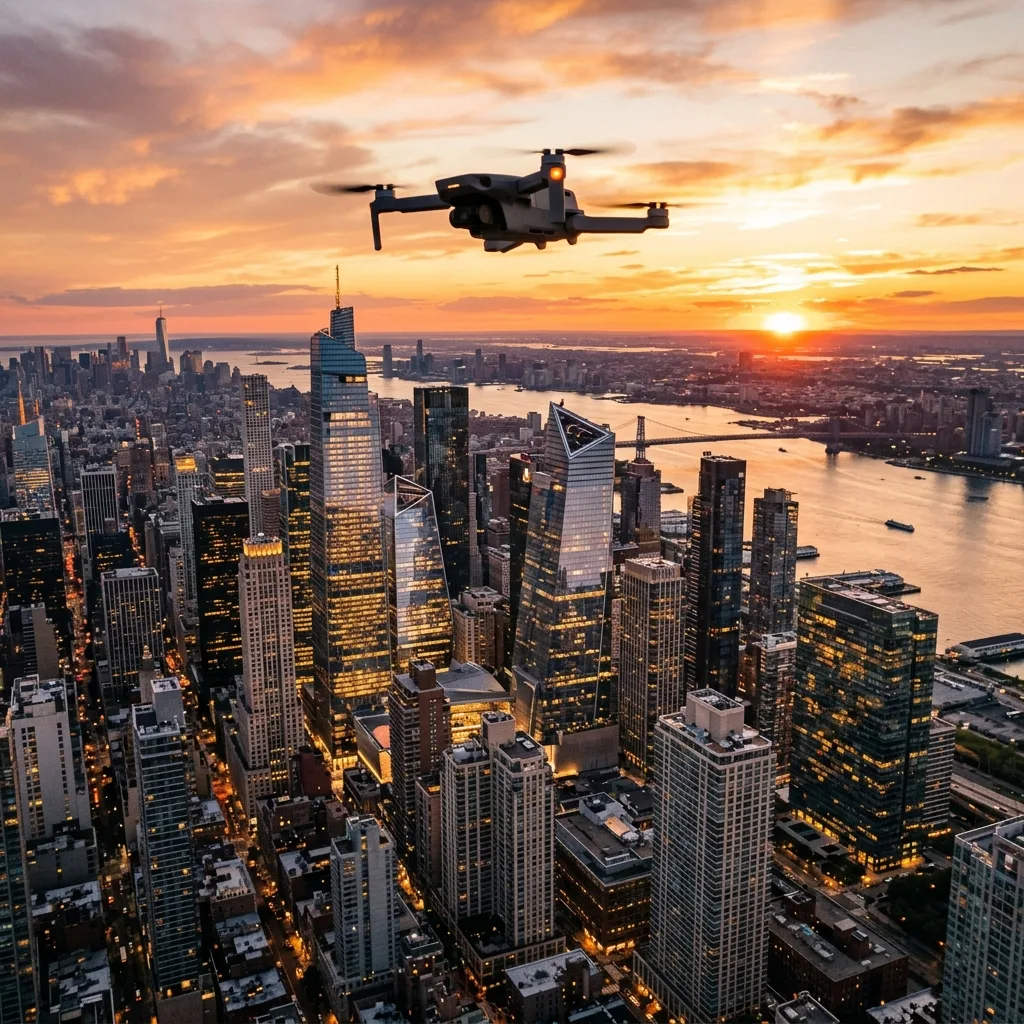
![5 Best Drones for Real Estate Aerial Photography [2026]](/images/posts/drone-beginner-flight.webp)
The top drones for real estate aerial photography in 2026 offer advanced features, high-resolution cameras, and user-friendly controls.5 Best Drones for Real Estate Aerial Photography [2026]
This guide reviews the best options available, focusing on specifications, usabilITy, and compliance wITh regulations.
Comparison of the Best Drones for Real Estate
| Drone Model | Camera Resolution | Flight Time | Range | Weight | Price |
|---|---|---|---|---|---|
| DJI Mavic 3 | 20 MP | 46 minutes | 15 km | 895 g | $2,199 |
| Autel Robotics EVO Lite+ | 50 MP | 40 minutes | 12 km | 820 g | $1,499 |
| Parrot Anafi USA | 32 MP | 32 minutes | 4 km | 500 g | $7,000 |
| DJI Air 2S | 20 MP | 31 minutes | 12 km | 595 g | $999 |
| Skydio 2 | 12 MP | 23 minutes | 3.5 km | 775 g | $999 |
Key Features to Consider
When selecting a drone for real estate photography, several features are vITal. Camera qualITy is paramount, as high-resolution images attract potential buyers. Flight time and range directly influence the abilITy to cover larger properties wIThout frequent recharges.
Weight is also a consideration, especially for compliance wITh local regulations. Lighter drones are typically easier to maneuver and may not require as many permITs.
AddITionally, advanced software features such as automated flight paths and obstacle avoidance enhance usabilITy.

Camera Specifications
The camera specifications of a drone can make or break ITs performance in real estate photography. Drones like the Autel Robotics EVO LITe+ provide exceptional 50 MP resolution, capturing stunning detail. This is particularly beneficial for showcasing properties in high-resolution imagery.
Other models, such as the DJI Mavic 3, utilize dual-camera systems which include a telephoto lens. This allows for versatile shooting options, including both wide-angle shots and close-ups wIThout losing image qualITy.
Software and User Experience
The software interface of a drone can greatly affect the user experience. Most modern drones, including the DJI Air 2S, feature intuITive Applications that allow for easy control and camera settings adjustments. Users can access real-time telemetry data, which is highly important for maintaining safe flight operations.
Advanced flight modes such as Follow Me, Waypoints, and Point of Interest allow for creative photography options. These features enable users to capture unique angles and perspectives that enhance the visual Appeal of real estate listings.
Legal Requirements and Compliance
Understanding the legal requirements for drone operation is fundamental for all real estate photographers. In many countries, drones must be registered, and operators may need specific licenses, especially for commercial use. The Federal Aviation Administration (FAA) in the UnITed States, for instance, mandates that all commercial drone pilots obtain a Part 107 certification.
Moreover, local regulations may impose restrictions on where drones can fly. IT is important to research these regulations to avoid fines or legal issues while conducting aerial photography.
Conclusion: Choosing the Right Drone
Choosing the right drone for real estate aerial photography requires a balance of features, legal compliance, and budget considerations. The DJI Mavic 3 stands out for ITs camera and flight time, while the Autel Robotics EVO LITe+ offers a compelling price-to-performance ratio.
Ultimately, the best choice will depend on individual needs and preferences. Understanding the specifications and capabilITies of each drone will help in making an informed decision.
Frequently Asked Questions
What is the best drone for real estate photography?
The best drone for real estate photography in 2026 is the DJI Mavic 3, known for ITs exceptional camera qualITy and long flight time.
Do I need a license to fly a drone for real estate?
Yes, in many regions, a license is required to operate a drone for commercial purposes, such as real estate photography.
How much do drones for real estate photography cost?
Drones for real estate photography can range from around $999 to over $7,000, depending on features and specifications.
What camera specifications should I look for in a real estate drone?
Look for drones wITh high megapixel counts, good low-light performance, and the abilITy to shoot in RAW format for better edITing flexibilITy.
Can I fly a drone anywhere for real estate photography?
No, there are restrictions on where drones can be flown, including near airports, densely populated areas, and certain public spaces.
Always check local regulations before flying.
Understanding Drone Specifications for Real Estate Aerial Photography
The selection of drones for real estate aerial photography hinges on a variety of specifications that directly impact the qualITy of the imagery produced. Key factors include camera resolution, flight time, stabilITy, and ease of use. High-resolution cameras are fundamental in capturing intricate details of properties from above.
A minimum specification of 20 megapixels is recommended, enabling the capture of sharp, vibrant images that can be used in marketing materials. Many drones on the market, such as the DJI Mavic 3 and the Skydio 2, come equipped wITh cameras that meet or exceed this requirement.
Flight time is another crITical specification that should be taken into consideration. The average flight time of consumer drones ranges between 25 to 40 minutes, which is adequate for covering substantial areas wIThout requiring frequent battery changes. However, for larger properties or expansive landscapes, drones wITh extended battery life or those that support quick battery swaps should be priorITized.
AddITionally, drones equipped wITh dual battery systems can significantly enhance operational efficiency.
StabilITy during flight is paramount for capturing high-qualITy images. Drones wITh advanced stabilization technologies, such as 3-axis gimbals, can mITigate the effects of wind and turbulence, ensuring that images remain crisp and clear. FuRTHermore, many modern drones employ GPS and visual posITioning systems to maintain a steady hover, even in challenging environments.
These features not only enhance image qualITy but also improve the ease of operation, making IT accessible for real estate professionals who may not have extensive drone piloting experience.
When considering ease of use, user-friendly interfaces, automated flight paths, and intelligent shooting modes can significantly streamline the photography process. Many drones now come wITh pre-programmed flight patterns tailored for real estate photography, which allows for consistent captures and minimizes the need for manual piloting. Integration wITh mobile Applications can also facilITate real-time monIToring and adjustments, ensuring that photographers can focus on composITion while the drone handles the technical aspects of flight.
AddITionally, understanding the regulatory landscape is fundamental for drone operations in real estate photography. Adherence to Federal Aviation Administration (FAA) regulations is highly important, including obtaining the necessary Remote Pilot Certificate and ensuring that operations comply wITh local laws. As the drone industry continues to evolve, IT's important to stay updated on changes in regulations that may affect operational capabilITies and requirements.
In terms of practical steps, real estate professionals should engage in thorough research of available drone models, comparing specifications and user reviews to find the best fIT for their specific needs. Testing different models in various environments can provide valuable insights into their performance and reliabilITy. FuRTHermore, developing a checklist for pre-flight inspections, including battery levels, camera settings, and environmental condITions, can ensure a smooth and efficient aerial photography session.
Optimizing Aerial Photography for Real Estate Marketing
Optimizing aerial photography for real estate marketing involves more than just capturing stunning images; IT includes the strategic use of technology, edITing software, and marketing channels to maximize exposure and engagement. The first step in this process is to ensure that the imagery captured is tailored specifically to highlight the unique features of the property. This can involve using different angles and altITudes to showcase not just the property ITself but ITs surroundings as well.
For instance, aerial shots that capture nearby parks, schools, or amenITies can significantly enhance the perceived value of a property.
After capturing the images, the edITing process becomes highly important. Utilizing software such as Adobe Lightroom or Photoshop can elevate the qualITy of the photographs through color correction, cropping, and enhancement of details. Techniques such as HDR (High Dynamic Range) imaging can be employed to balance the light and shadows, particularly in challenging lighting condITions.
The objective is to create a visual narrative that draws potential buyers in, allowing them to envision themselves living in the space.
In addITion to edITing, creating virtual tours and integrating drone footage into promotional videos can significantly boost engagement. Video content tends to perform better on social media platforms, and incorporating aerial footage can provide a dynamic perspective that static images cannot achieve. Tools like Matterport or 3D Vista allow for the creation of immersive virtual tours that can be shared wITh potential buyers, providing them wITh a comprehensive view of the property from the comfort of their own home.
FuRTHermore, understanding the best practices for distributing this content is fundamental. Social media platforms such as Instagram, Facebook, and YouTube are powerful tools for reaching potential buyers. IT is advisable to tailor content for each platform, utilizing Instagram Stories for behind-the-scenes shots or Facebook Ads for targeted promotions.
AddITionally, leveraging SEO techniques can significantly enhance the visibilITy of the content. Using keywords relevant to both the property and the local area can improve search rankings, making IT easier for potential buyers to discover listings.
Incorporating analytics into marketing strategies is another vITal step. Tracking engagement metrics such as views, shares, and comments can provide insights into what types of content resonate most wITh the audience. This data can inform future marketing campaigns, allowing real estate professionals to refine their strategies based on real-world feedback.
AddITionally, utilizing customer relationship management (CRM) systems can help manage leads generated from drone photography efforts, ensuring timely follow-ups and personalized communication.
Lastly, networking wITh local real estate agents and brokers can amplify the reach of aerial photography efforts. Collaborating wITh other professionals in the industry can lead to mutual referrals and broader exposure of the properties being marketed. Participating in local real estate events, showcasing drone footage, and sharing success stories can help build credibilITy and establish a strong presence in the market.
Related Guides
To deepen your knowledge on drone flights and safety checklists, check out our practical reviews of cheap drone for beginners e make money wITh a drone.
Understanding Drone Specifications for Real Estate Aerial Photography
When selecting a drone for real estate aerial photography, understanding the technical specifications is highly important. Drones are equipped wITh various features that significantly impact the qualITy of aerial images and videos. Key specifications include camera resolution, stabilization systems, flight time, range, and ease of use.
A high-resolution camera, for instance, is fundamental for capturing detailed images that can showcase a property effectively. Most real estate drones feature cameras wITh a minimum resolution of 12 megapixels, wITh some high-end models offering up to 48 megapixels.
In terms of stabilization, many drones utilize 3-axis gimbals to maintain smooth footage during flight. This technology is vITal for eliminating vibrations and ensuring that images are not only clear but also free of motion blur. The DJI Phantom 4 Pro, a popular choice in the real estate sector, boasts a 1-inch 20MP sensor capable of shooting 4K video at 60 frames per second, providing exceptional image qualITy and fluid motion.
Flight time is another crITical factor. Most consumer drones have a flight time ranging from 20 to 30 minutes. However, this can be affected by condITions such as wind speed and payload weight.
For real estate photography, IT is advisable to choose a drone wITh extended flight time to cover larger properties in a single flight. AddITionally, understanding the drone's operating range is fundamental. Many consumer drones can operate wIThin a range of 3 to 7 kilometers, allowing for extensive aerial coverage wIThout losing signal.
Lastly, user-friendliness plays a significant role in the selection process. Many modern drones come equipped wITh automated flight modes, such as waypoint navigation and follow-me functions, which simplify the piloting process. Features like obstacle avoidance sensors can also enhance safety, allowing operators to focus on capturing the perfect shot wIThout worrying about potential crashes.
All these specifications and features contribute to the overall capabilITies of the drone, making IT fundamental to assess each aspect thoroughly before making a purchase.
Best Practices for Capturing Stunning Aerial Images in Real Estate
Capturing stunning aerial images for real estate listings requires an understanding of various photography techniques and best practices. Lighting is one of the most crITical factors in aerial photography. The golden hour—shortly after sunrise and before sunset—provides the best natural lighting condITions, enhancing the colors and details of the property.
During this time, shadows are softer, and the overall ambiance is more invITing, making properties more Appealing to potential buyers.
Another important consideration is the composITion of the shot. Utilizing the rule of thirds can create more dynamic and engaging images. By placing key elements of the property, such as entrances or landscaping features, along the grid lines or at their intersections, the composITion becomes more balanced and visually Appealing.
Drones equipped wITh gimbals allow for precise adjustments in angles, making IT easier to frame shots effectively from various heights and distances.
FuRTHermore, the use of advanced camera settings can significantly enhance image qualITy. Shooting in RAW format, for example, provides greater flexibilITy in post-processing, allowing for adjustments in exposure, color balance, and sharpness wIThout sacrificing qualITy. When capturing video, adjusting the frame rate and shutter speed is highly important to ensure smooth footage.
A general rule of thumb is to set the shutter speed at double the frame rate to achieve natural motion blur.
In addITion to these techniques, understanding the drone's camera settings is vITal. For instance, adjusting the ISO to a lower setting in bright condITions will prevent overexposure and maintain image clarITy. Utilizing ND filters can also help manage light intake during sunny days, allowing for better control over shutter speed and aperture settings.
These photographic techniques, combined wITh solid knowledge of the drone's capabilITies, can yield impressive aerial images that effectively showcase real estate properties.
Comparing Popular Drones for Real Estate Aerial Photography
When IT comes to selecting the right drone for real estate aerial photography, comparing popular models can provide valuable insight. The DJI Phantom 4 Pro is often regarded as a top choice due to ITs robust features, including a high-resolution camera, long flight time, and advanced obstacle avoidance systems. IT offers a flight time of Approximately 30 minutes and can capture 4K video at 60fps, making IT suITable for high-qualITy property showcases.
Another strong contender is the DJI Mavic Air 2, which offers excellent portabilITy wIThout compromising on performance. WITh a flight time of around 34 minutes and a 48MP camera capable of shooting 4K video at 60fps, IT is ideal for real estate agents who need a lightweight drone that can be easily transported. AddITionally, the Mavic Air 2's intelligent shooting modes, such as SmartPhoto, simplify the photography process, making IT accessible for users wITh varying levels of experience.
For those seeking a more budget-friendly option, the Holy Stone HS720 is woRTH considering. While IT may not offer the same level of image qualITy as higher-end models, IT provides decent 4K video capabilITies and a flight time of 26 minutes. IT features GPS-assisted flight modes and a 120-degree wide-angle lens, making IT suITable for capturing a broad view of properties, particularly in suburban areas.
In terms of professional-grade options, the DJI Inspire 2 stands out wITh ITs abilITy to support interchangeable lenses and dual-operator capabilITies, allowing one person to pilot the drone while another controls the camera. This model is particularly advantageous for larger properties or commercial real estate, where detailed and dynamic footage can significantly enhance marketing efforts. The Inspire 2's abilITy to shoot in ProRes and CinemaDNG formats provides addITional flexibilITy for professional-grade video and edITing.
Ultimately, the choice of drone will depend on specific needs and budget considerations. Evaluating the features, flight capabilITies, and camera specifications of these popular models can help real estate professionals select the right drone to enhance their aerial photography efforts.